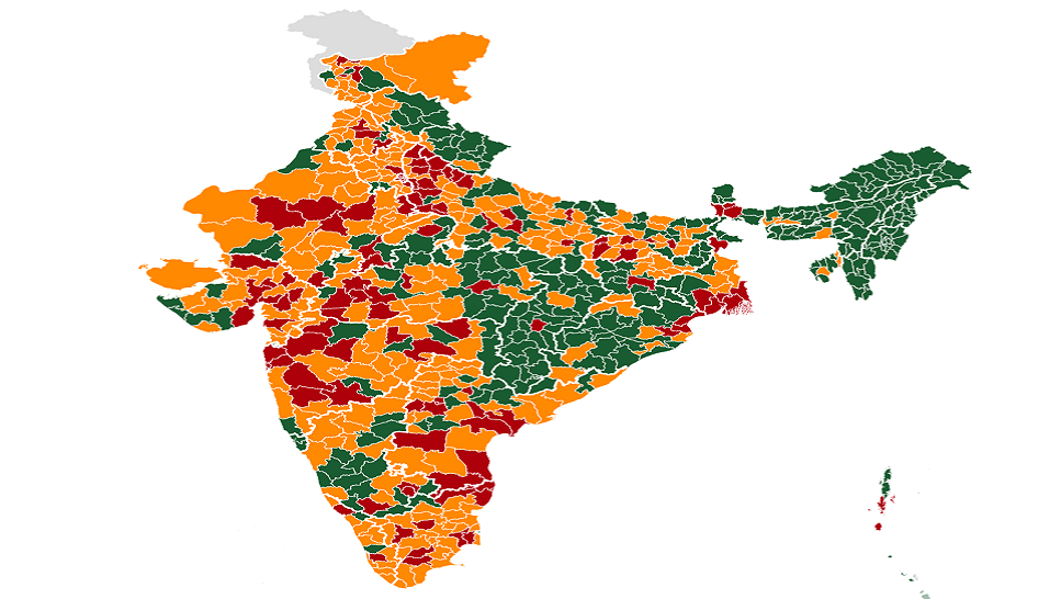
Indian Ministry of Health & Family Welfare classifies 170 out of 720 districts as coronavirus hotspots.
Stepping up the fight against COVID-19, India’s Ministry of Health & Family Welfare recently declared zone-wise classification of districts as hotspots (red zone) and non-hotspots (green zone), based on reported cases.
Districts with no reported cases are categorised as green. A hotspot district can move to the green zone if no new case is reported for 28 days.
States are advised to identify hotspots based on the doubling rate of confirmed cases. This identification of hotspots, the Ministry says, will be done on a weekly basis, if not earlier. Strict containment measures are to be implemented in these hotspot areas.
HealthLEADS marks out these districts on India’s map.


